Rain Forecast: What’s Coming and How to Stay Safe
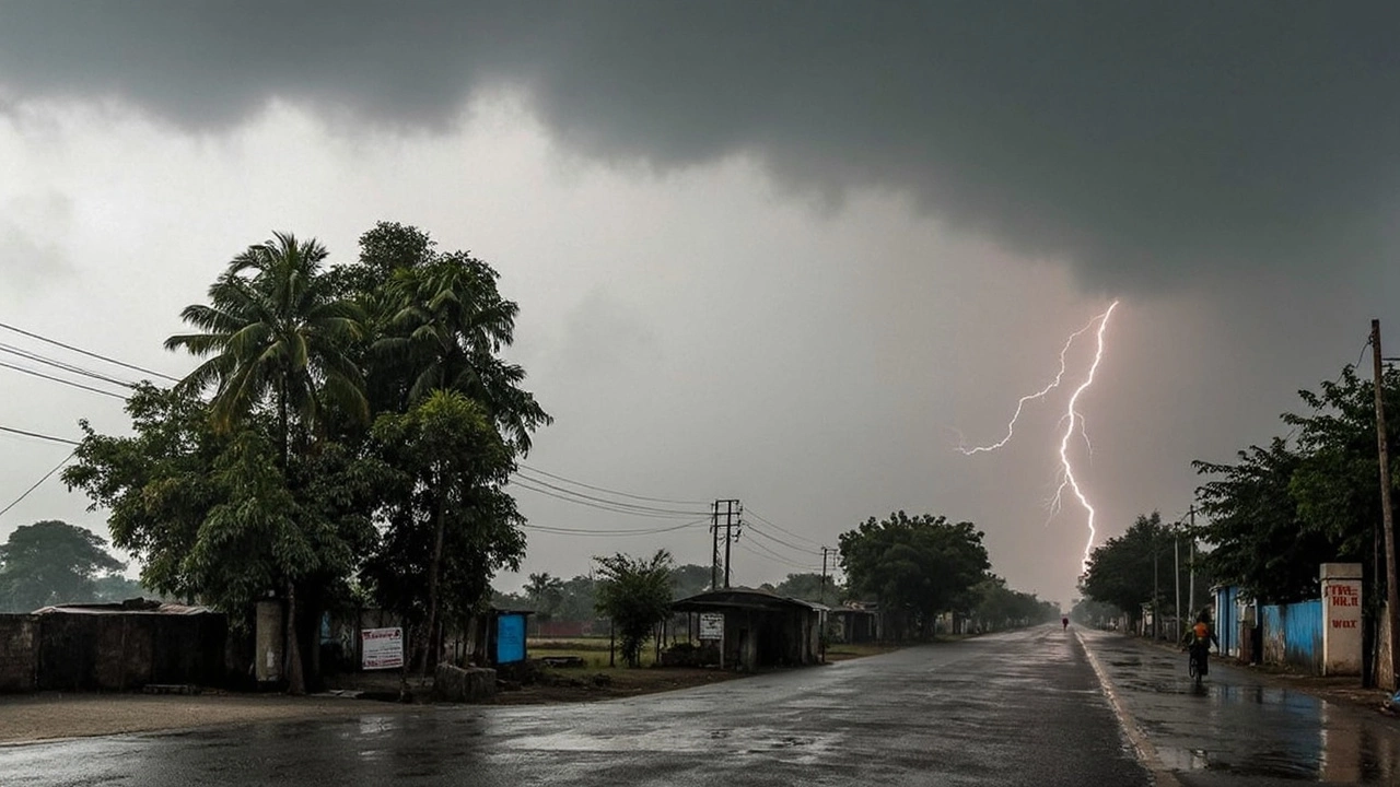
Monsoon season can feel like a roller‑coaster, especially when heavy rain hits suddenly. If you’re wondering whether you’ll need an umbrella tomorrow or if a flood could affect your area, you’ve come to the right place. We bring you the most recent rain forecasts, IMD alerts, and simple steps to keep you and your family safe.
Current IMD Alerts Across India
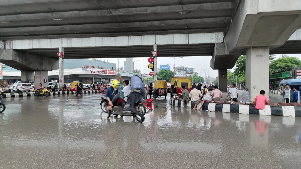
The India Meteorological Department (IMD) has issued several alerts this week. A red alert covers parts of Punjab, Delhi‑NCR and Uttar Pradesh after relentless downpours turned streets into rivers. In Delhi‑NCR, the Yamuna rose to 207.44 m, just shy of the 1978 peak, forcing flight delays and road diversions. Meanwhile, a low‑pressure system over the Bay of Bengal is set to drench 13 states with heavy rain through early September. Assam, West Bengal and Odisha should brace for strong winds and flash‑flood risks.
Uttarakhand also faces a cloudburst warning in Chamoli’s Tharali region. The IMD predicts very heavy rain for the next 24 hours, raising concerns about landslides on mountain roads. In Jharkhand, Ranchi is under an orange alert as a new system moves in from the Bay of Bengal, bringing thunderstorms and possible transport disruptions.
What the Forecast Means for You
Knowing the forecast is one thing; acting on it is another. If you’re in a red‑alert zone, avoid low‑lying areas and don’t drive through water‑logged streets. Even shallow water can sweep a car away. Keep an emergency kit ready: flashlight, basic meds, bottled water and some cash. For those in yellow‑alert zones, stay tuned to local news and be prepared for sudden changes – the IMD often upgrades alerts within hours.
Travelers heading to Delhi‑NCR should check flight statuses before leaving for the airport. Recent data shows more than 300 flights were delayed or diverted due to water‑logged runways and low visibility. If you’re planning a road trip in Punjab or Haryana, look out for road closures near the Haryana‑Delhi border where a drain breach caused evacuations.
Farmers in the affected states can expect higher than average September rainfall. While extra water can boost crops, too much can damage seedlings and delay harvesting. Keep drainage channels clear and consider temporary covers for vulnerable seedlings.
For city dwellers, air quality may stay decent despite the rain, but humidity can rise sharply, making the heat feel more oppressive. Use dehumidifiers indoors and keep windows closed during the heaviest downpours to prevent mold growth.
Lastly, if you live near rivers like the Ganga in Bihar or the Yamuna in Delhi, monitor water levels closely. The recent surge in the Yamuna prompted a pause in cremations at Nigambodh Ghat for safety reasons. Local authorities will issue specific evacuation orders if levels breach danger marks.
Staying ahead of the rain forecast means checking the IMD website or reliable news sources daily, keeping an eye on alert colors, and having a quick action plan. With the monsoon in full swing, a little preparation goes a long way in keeping you dry and safe.
New Delhi faces a wet Wednesday with widespread rain, thunderstorms, and cloudy skies. Temperatures hover between 24.7°C and 32°C, and humidity stays high as southeast winds switch to northeast in the evening. Outdoor plans may face disruption, and the IMD notes some uncertainty for later forecasts.
The IMD says the Southwest Monsoon will hit central and east Uttar Pradesh between June 12-18, 2025, before spreading across the northwest later in the month. High temperatures from 33°C to 42°C are expected, with 3-8 rainy days. Districts like Lucknow and Jhansi may see early rain, so locals should prepare for both heat and showers.