Heavy Rain – Latest News, Alerts & Safety Tips
Heavy rain has turned many Indian cities into waterlogged messes lately. From Delhi’s swollen Yamuna to Punjab’s worst floods since 1988, the monsoon is acting like a wild force. If you live in a flood‑prone area or just need to plan your commute, you’ll want the freshest info and some easy steps to stay safe.
Recent Heavy Rain Events Across India
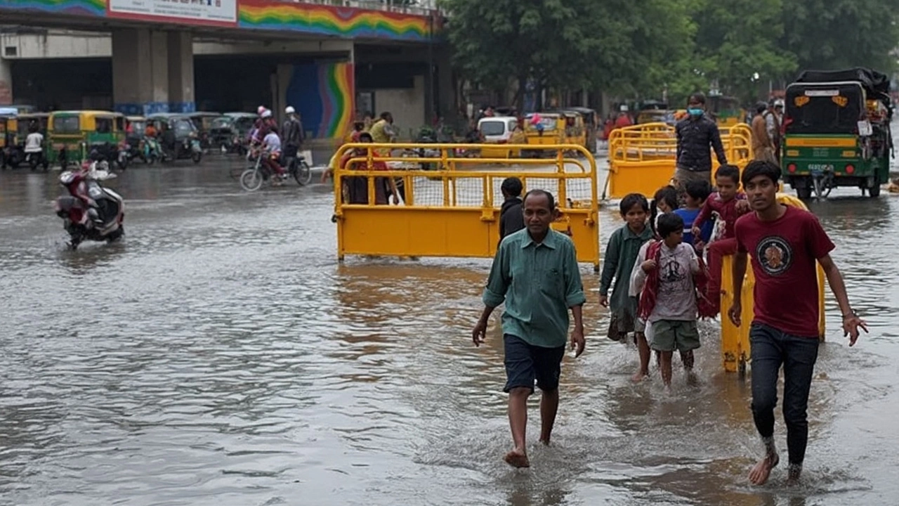
In the past week the India Meteorological Department (IMD) issued a red alert for North India after a low‑pressure system from the Bay of Bengal dumped relentless rain. Punjab saw water levels rise to a point not seen since 1988, while districts in Delhi‑NCR faced severe waterlogging. A breach in a drain along the Haryana‑Delhi border forced evacuations in low‑lying colonies.
Delhi’s rainfall pushed the Yamuna to 207.44 m, just a whisper below its 1978 peak. The city saw flight delays at IGI Airport, with 273 departures and 73 arrivals held up. Roads around the Outer Ring Road and near the airport were flooded, and police had to reroute traffic.
Further east, Bihar’s rivers surged, affecting more than 25 lakh people across ten districts. The Ganga and several tributaries crossed danger marks, breaching embankments in Muzaffarpur and Saran. The state government deployed over 1,200 boats and NDRF teams to rescue stranded families.
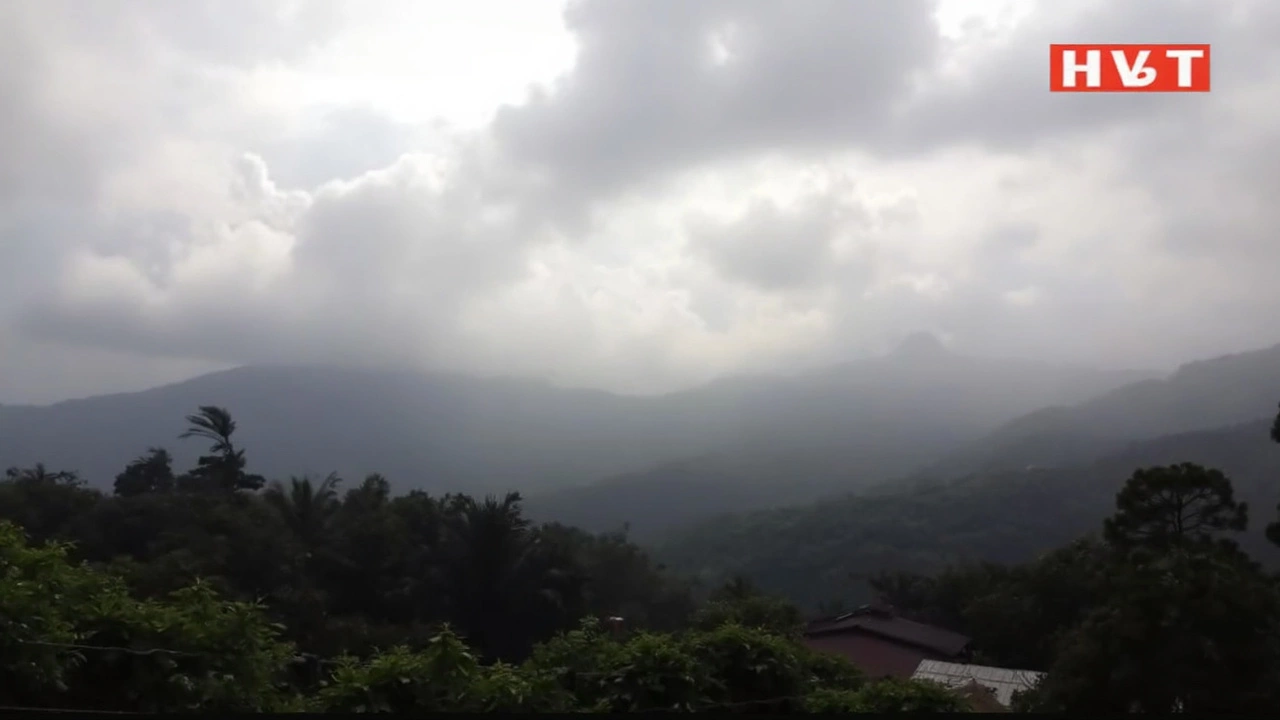
Jammu & Kashmir is bracing for above‑average September rain, with IMD warning of flash floods and landslides on mountain slopes already soaked by monsoon showers. Travelers are being told to stay alert on highways and avoid low‑lying valleys.
Uttarakhand’s Chamoli district reported a cloudburst in Tharali, prompting a 24‑hour warning for heavy to very heavy rain. Authorities warned of possible landslides and flash floods from Dehradun down to Bageshwar.
In the east, Ranchi and surrounding districts of Jharkhand entered an orange alert on August 20, expecting downpours, thunderstorms and wind gusts. The alert follows a yellow warning that already had schools and offices on standby.
How Heavy Rain Affects Daily Life and What to Do
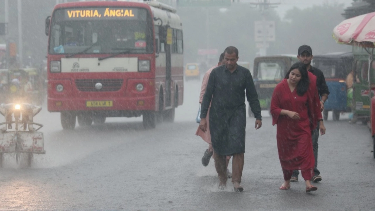
Travel is the first casualty. Flights, trains and buses get delayed or cancelled as runways and tracks become slick. If you have a flight, check the airline’s app and arrive early to avoid last‑minute chaos. For road trips, plan alternate routes and keep a spare set of tires—water‑logged roads can hide potholes.
Health risks rise too. Stagnant water becomes a breeding ground for mosquitoes, increasing dengue and malaria chances. Keep doors and windows closed, use repellents and wear long sleeves if you must step outside.
Home safety matters. Move valuable items off the ground, sandbags can help keep water out of basements, and unplug electrical devices to prevent shocks. If you live in a low‑lying area, have a simple emergency kit ready—flashlight, batteries, bottled water, basic medicines and a charged phone.
Stay informed by following IMD updates on TV, radio or trusted news portals. Alerts are categorized by color—yellow for moderate rain, orange for heavy rain, and red for severe conditions. When a red alert is posted, it’s time to consider evacuation if local authorities advise.
Community help can make a big difference. Neighbors often share sandbags, help move furniture to higher ground, or assist the elderly in reaching safe spots. Joining local WhatsApp groups that share real‑time flood maps can keep you a step ahead.
Finally, remember that heavy rain isn’t just a short‑term inconvenience. It can cause long‑term damage to crops, roads and infrastructure, affecting livelihoods for months. Supporting local relief efforts—whether through donations or volunteering—helps speed up recovery.
Heavy rain will keep testing us, but staying informed, prepared, and looking out for each other can turn a scary situation into something manageable. Keep checking back for the latest updates, and stay safe out there.
A cyclonic circulation over the Bay of Bengal and two low-pressure systems are set to fuel heavy rain across 13 states through early September. The first system is forming over the north Bay and will intensify near the West Bengal–North Odisha coast, with a second likely around September 10. Strong winds, rough seas, and urban flooding risks are expected along India’s east, central, and west belts.
Northern and eastern India, including Delhi, Uttar Pradesh, Bihar, and Rajasthan, are under a heavy rain alert for 28 July 2025. Monsoon conditions may lead to more showers, high temperatures, and possible disruptions. Residents are urged to keep an eye on local updates as July rain patterns intensify.
Heavy monsoon rains and thunderstorms are forecasted to sweep Madhya Pradesh from June 19-22, prompting a yellow alert in 16 districts. The IMD warns of potential flooding and urges residents and travelers to prepare for disruptions. Central and eastern districts are expected to be hit hardest.