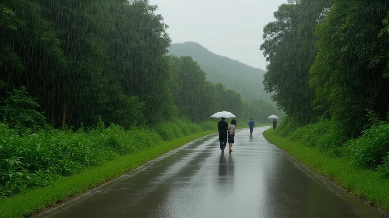
It’s finally happening. After weeks of sweltering heat that seemed to have no end in sight, Rajasthan has gotten a much-needed break. The pre-monsoon season has kicked into high gear, bringing widespread rain and relief across the state. In the last 24 hours alone, rainfall was recorded at 68 different stations, with temperatures dropping by as much as 13 degrees Celsius in several districts.
The capital city, Jaipur, saw dark clouds gather and heavy showers drench the streets, offering a rare moment of respite for residents who have been battling extreme heat. But it wasn’t just the pink city that felt the change; the weather system stretched far beyond the urban centers, impacting rural areas and border regions alike.
A Welcome Cool Down
Here’s the thing about Rajasthan summers—they’re brutal. But this recent burst of pre-monsoon activity has changed the game. According to reports from First India News, the maximum temperature in many districts plummeted significantly. We’re talking drops of up to 13°C in some areas. In cities where temperatures had been hovering dangerously high, the mercury fell below 35°C for the first time in weeks.
It’s not just numbers on a chart, though. People on the ground are feeling it. Tourists visiting Jaipur noted the pleasant shift in atmosphere. “The weather is cooperating today,” one visitor said when asked about their experience. It’s a small quote, but it captures the mood perfectly. For a while, at least, the scorching sun took a backseat to the soothing sound of rain.
Record Rainfall in Jhunjhunu
While Jaipur got its share of showers, the real standout performance came from further north. In the Malisisar area of Jhunjhunu district, meteorologists recorded an impressive 66 millimeters of rain in just 24 hours. That’s the highest figure registered in the state during this period.
To put that in perspective, 66mm is significant for a region known for its arid climate. It suggests that the pre-monsoon systems are stronger and more widespread than usual. More than 10 districts reported “good” rainfall, indicating that this isn’t an isolated event but a broader pattern affecting the entire northwest part of the state.
Storms and Safety Alerts
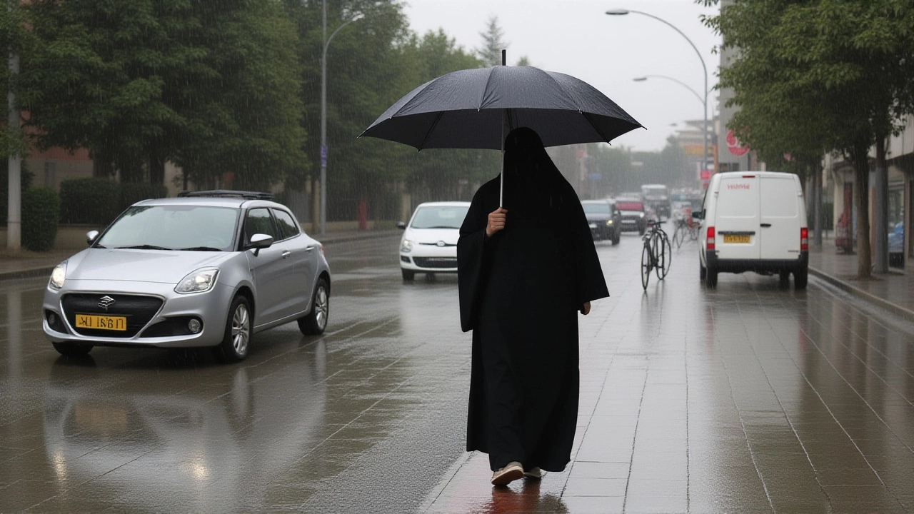
But wait—rain doesn’t always mean peace and quiet. Along with the water came strong winds. The India Meteorological Department (IMD) issued yellow alerts for wind and rain across 23 districts initially, later expanding warnings to cover 26 districts. Seven of these faced orange alerts, signaling potentially hazardous conditions.
In Jaipur, a nim tree fell near Ganga Pol Gate due to gusty winds, damaging three parked cars. Fortunately, no one was hurt. It’s a reminder that while the rain is welcome, the accompanying storms require caution. The IMD specifically warned people to stay away from old trees and tin sheds, which can become dangerous projectiles or collapse under strong wind pressure.
What Experts Are Saying
The meteorological outlook is shifting rapidly. A new western disturbance is expected to activate, influencing weather patterns in Bikaner, Jaipur, and surrounding areas. This system could bring more turbulence before the main monsoon arrives.
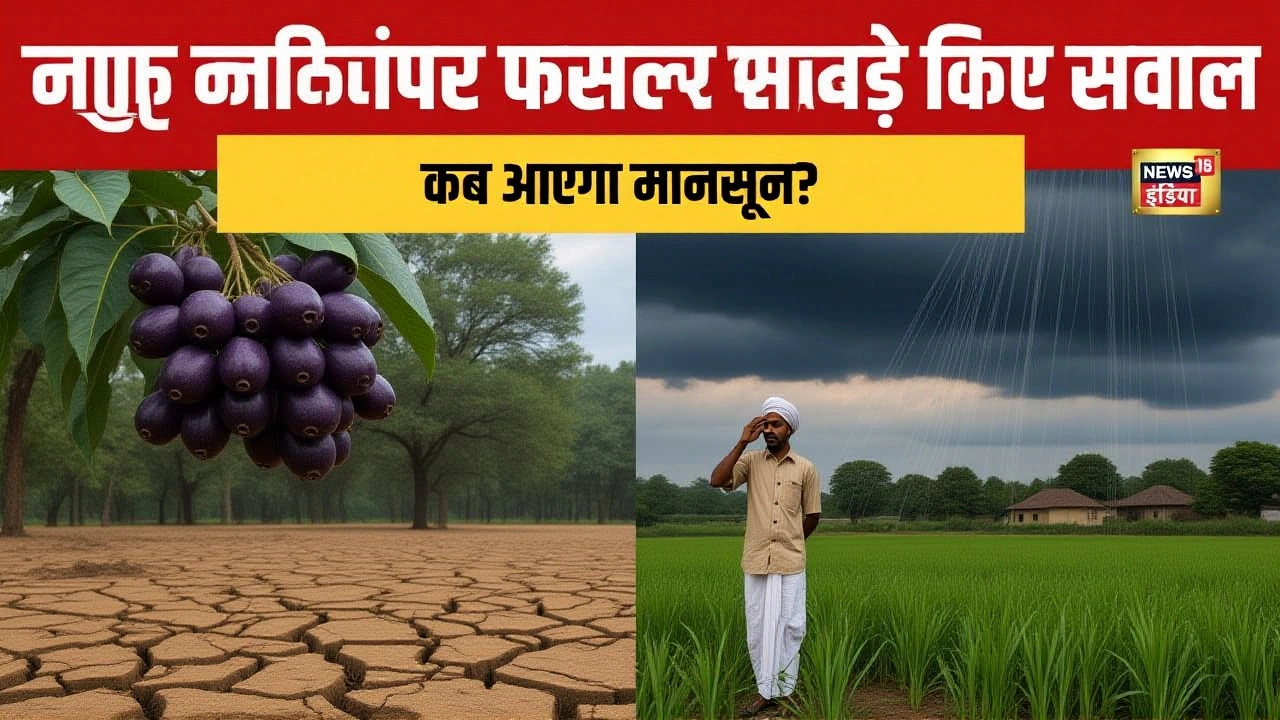
Interestingly, despite the heavy pre-monsoon rains, experts suggest the official arrival of the southwest monsoon might be delayed. Reports indicate that June’s total rainfall quota is already 45% complete, yet the primary monsoon front is still lingering. It’s a bit of a paradox: we’re getting wet now, but the big seasonal shift is still pending.
Timeline of Events
- Recent 24 Hours: Rain recorded at 68 stations statewide; 66mm in Malisisar.
- Until June 17: Weather remains volatile with continued alerts for wind and rain.
- Post-June 17: Expect a slight lull in intensity as the current system stabilizes.
- June 24-25: Potential for a stronger pre-monsoon or early monsoon onset.
In the far west, near the Pakistan border, the contrast is stark. In Gater village, just three kilometers from the international boundary in Badmer district, temperatures remain extremely high. While Jaipur cools down, these border areas continue to bake, highlighting the diverse microclimates within the state.
Frequently Asked Questions
How much rain did Rajasthan receive recently?
Rainfall was recorded at 68 different stations across the state in the last 24 hours. The highest amount was 66 millimeters, measured in the Malisisar area of Jhunjhunu district. More than 10 districts reported good to heavy rainfall.
Will the monsoon arrive early in Rajasthan?
Despite heavy pre-monsoon rains, experts predict the official monsoon entry may be delayed. However, there is a possibility of a stronger pre-monsoon or early monsoon touch around June 24-25. The current western disturbance is keeping the weather active until then.
Are there any safety concerns with the current weather?
Yes, strong winds accompany the rain. The IMD has issued orange and yellow alerts for 26 districts. Residents are advised to avoid standing near old trees and tin sheds, as seen in Jaipur where a falling tree damaged cars. Stay indoors during peak gusts.
Which areas received the most rain?
Jhunjhunu district recorded the highest rainfall, particularly in Malisisar with 66mm. Other affected areas include Churu, Sikar, Alwar, Sri Ganganagar, and Hanumangarh, which also experienced heavy showers and strong winds.
How has the temperature changed in Jaipur?
Temperatures in Jaipur and surrounding districts dropped by up to 13 degrees Celsius following the pre-monsoon rains. Maximum temperatures in several cities fell below 35°C, providing significant relief from the previous week's extreme heatwave conditions.